Visual Solution Standard Package (Max. 5 ha)

Visual Solution Standard Package
Ready to manage your cropland with satellite data? We present to you our new service, the Visiual Solution service. With advanced satellite analysis and many smart features, you can achieve maximum productivity in your field. For this, after purchasing the Service, select your area on the map and get the following valuable information.
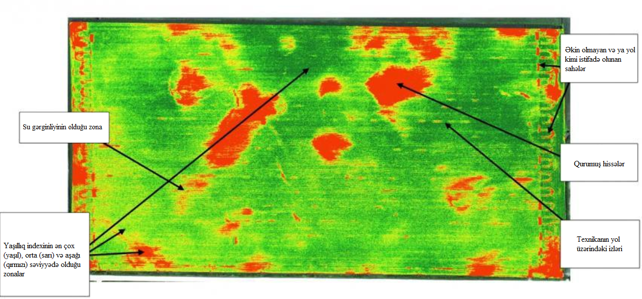
• Satellite Analysis: Get accurate information about your fields with our 5-day periodic satellite images. Be informed about product health and make informed decisions.
• Plant Health: Track your crops throughout the season with overall, early-season and late-season health assessments. Identify problems early and optimize your productivity.
• Water Stress and Nitrogen Status: You will see the water stress level and nitrogen value to ensure proper nutrition of your plants.
• Visualize your field: You will see your fields like never before with false color, natural color and custom indexes. With this, you will have a deeper understanding of your vegetation.
• Weather Forecast: Stay ahead of problems with live weather maps and an 8-day forecast. You'll get alerts for potential weather-related risks and plan ahead for spraying and fertilizing.
Note 1: By making a one-time payment, you will be able to receive this information continuously for 5 days until December 31.
Note 2: The price is set for areas up to 5 hectares. 29 manats will be charged for every 5 hectares.
